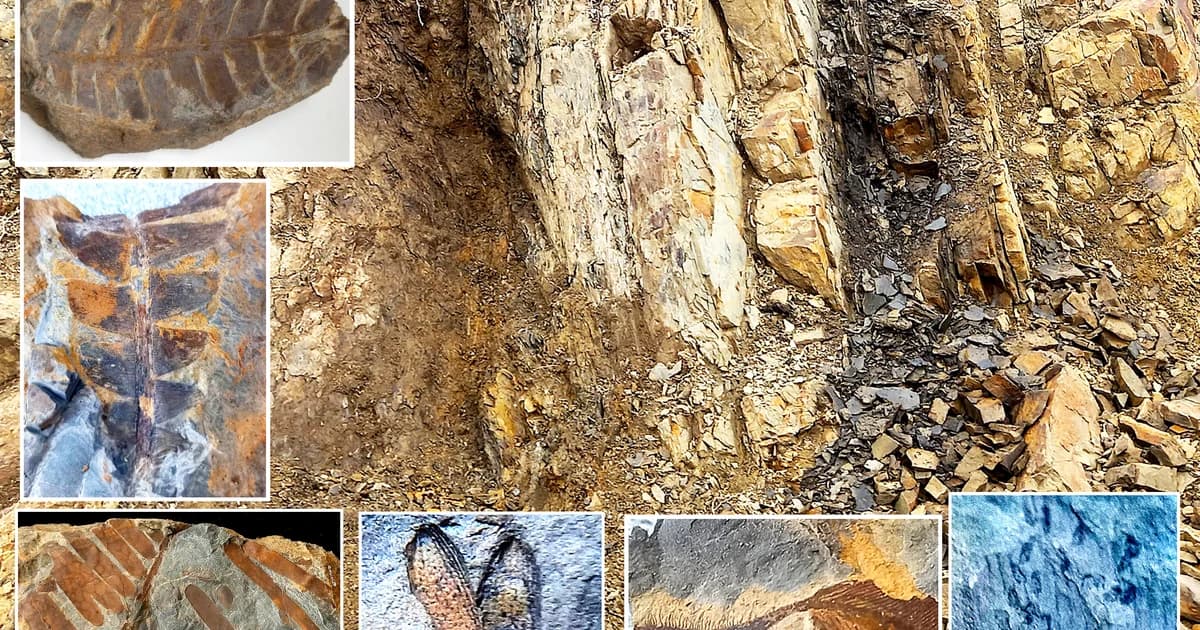
Kansas Dinosaur Track Location Guide
Dinosaur Track is a realistic Kansas fossil profile built around footprint impression preserved in ancient mud or sand flats. In this state, success usually comes from learning red beds, chalk cuts, and dry creek gravels, then timing runoff, reservoir drawdown, surf cuts, or road work that exposes fresh fossil-bearing rock instead of hunting blindly.
Best State Matches
- ●Kansas
Regional Context
Southern Plains
Route stack
Turn Kansas Dinosaur Track into a month, law, metro, and ground plan.
These links move the page out of taxonomy mode and back into trip planning, so users can answer when to go, where to start, and what legal layer to check before they leave the main species or find guide.
Timing layer
Monthly state routes
Law layer
Kansas state guide
Fossil collecting rules in Kansas vary by land status and fossil type. Common invertebrate fossils may be collectible on some public lands, but vertebrate fossils, protected park units, tribal lands, and cultural sites require a much higher level of care and often a permit. This is especially relevant in chalk beds, Smoky Hill fossils, and Cretaceous marine forms.
Open the law layer →Metro layer
City hubs in Kansas
No city hubs are published for this state yet.
Place layer
Trail and ground routes
Location: Kanopolis State Park
State Park • Photo opportunities, Exposed shoreline stones
Location: Tuttle Creek State Park
State Park • Photo opportunities, Exposed shoreline stones
Location: Cedar Bluff State Park
State Park • Photo opportunities, Exposed shoreline stones
Location: Scott State Park
State Park • Photo opportunities, Exposed shoreline stones
Take TroveRadar into the field
Carry the plan, the species notes, and the access checks outside.
Use the mobile app for offline reference, private find logging, route memory, and the working notes that matter after the browser window closes.